Bozburun Peninsula
The road passes the through the outskirts of Marmaris and resort of İçmeler then disappears twisting up into pine forested mountains….
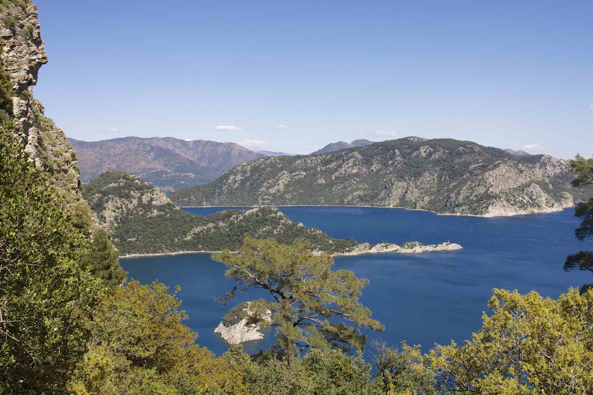
The Bozburun peninsula is situated in the south west corner of Turkey, its wild and rugged beauty are a breath of fresh air after the mass tourism of Marmaris. The sparsely populated peninsula is home to less than twenty thousand inhabitants. The small town of Bozburun is the administrative centre of the region and famous for traditional boat building. Its sheltered bays and inlets are home to many craft during the winter months when they are hauled on land and propped up on wooden supports for repair and overhaul. In summer boats of all shapes and sizes can be seen at anchor or tied up at the harbor fronts all over the peninsula.
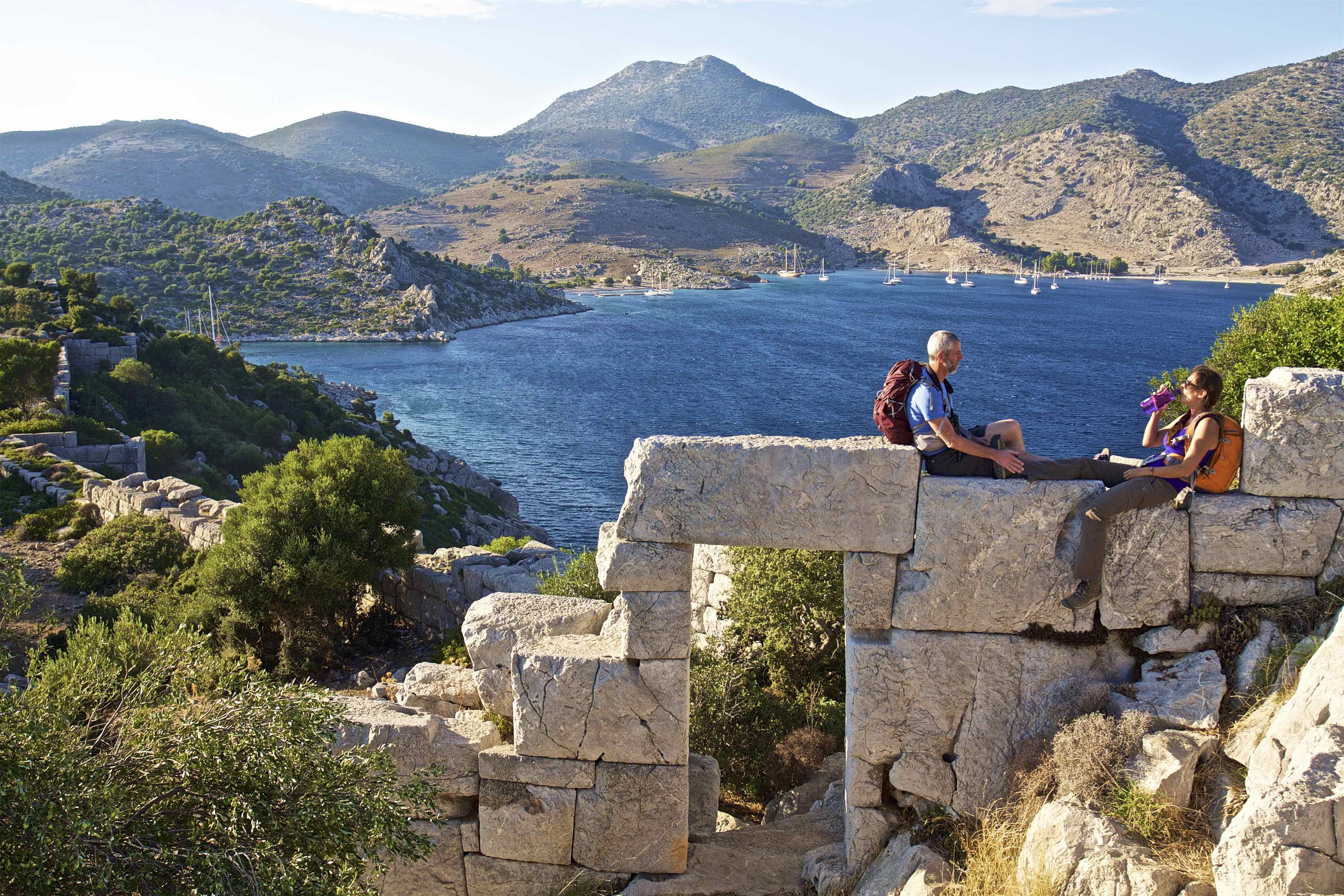
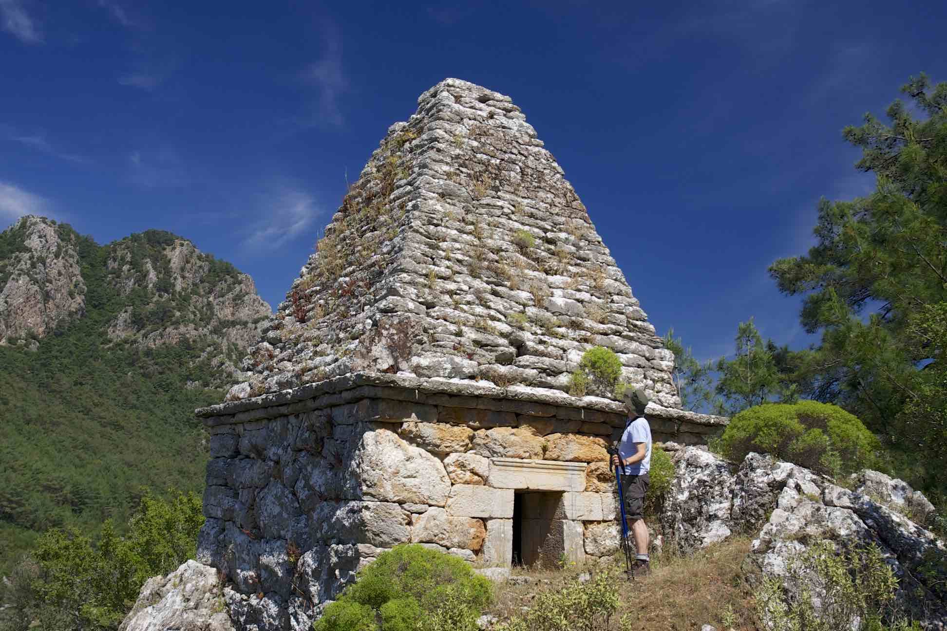
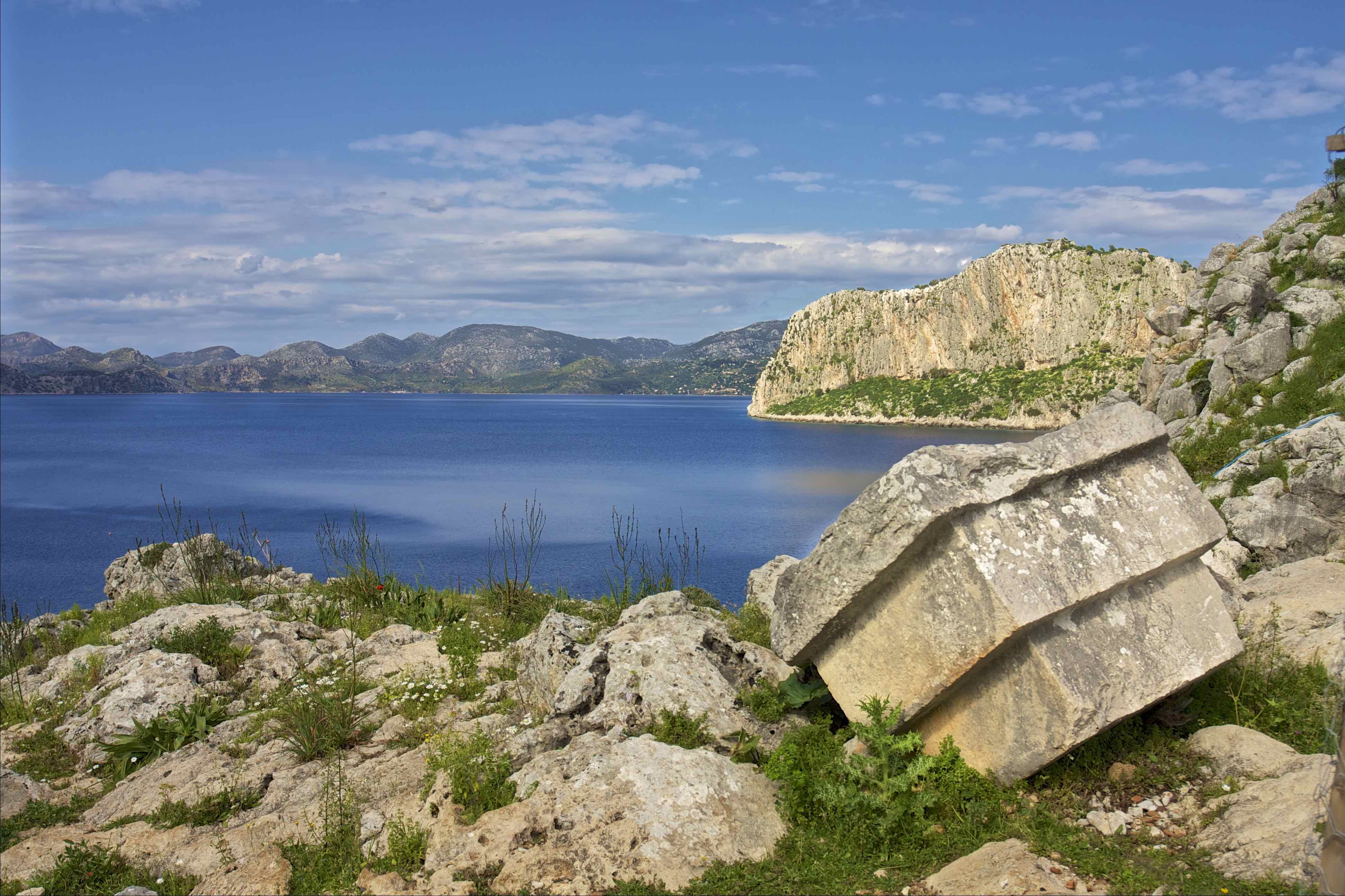
The top half of the peninsula is mountainous and forested with steep slopes rising from sheltered coastal inlets. Travelling south, the forest gives way to a barren rocky landscape with scattered ruins half submerged or hill top fortifications protecting hidden valleys’ and sheltered ports.
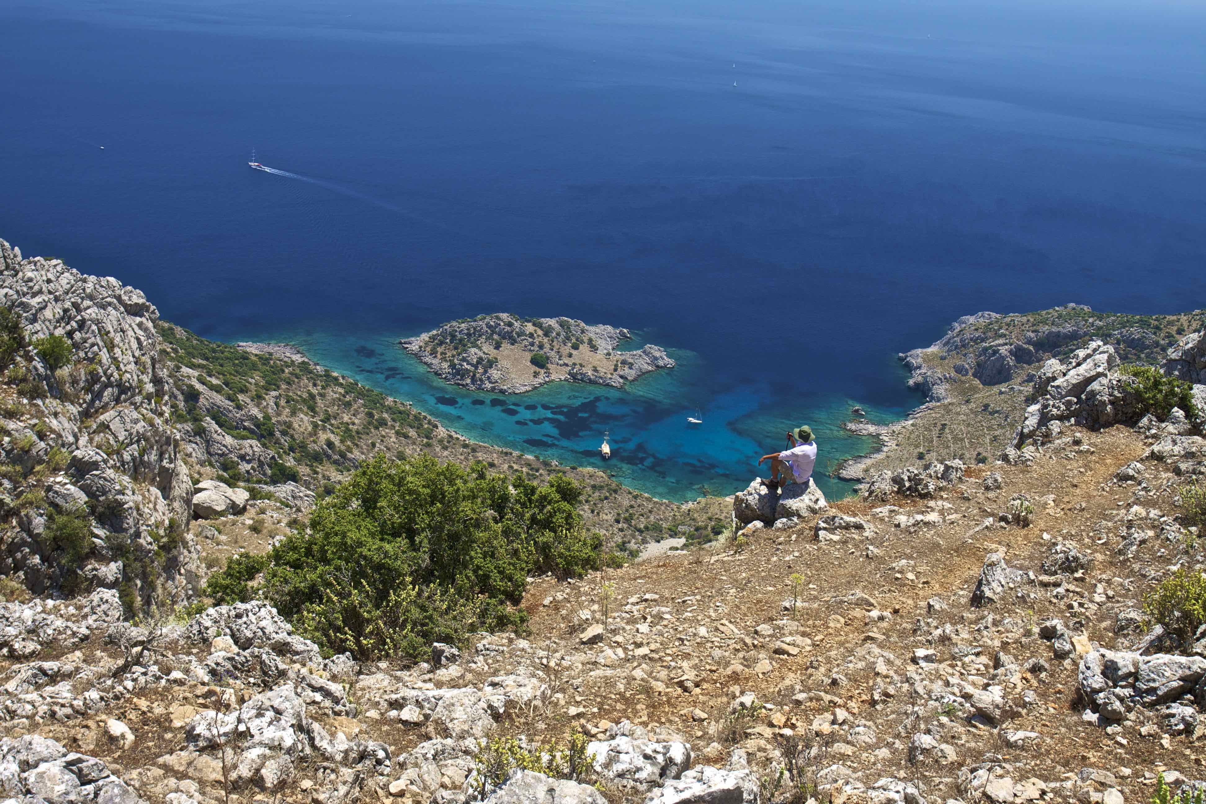
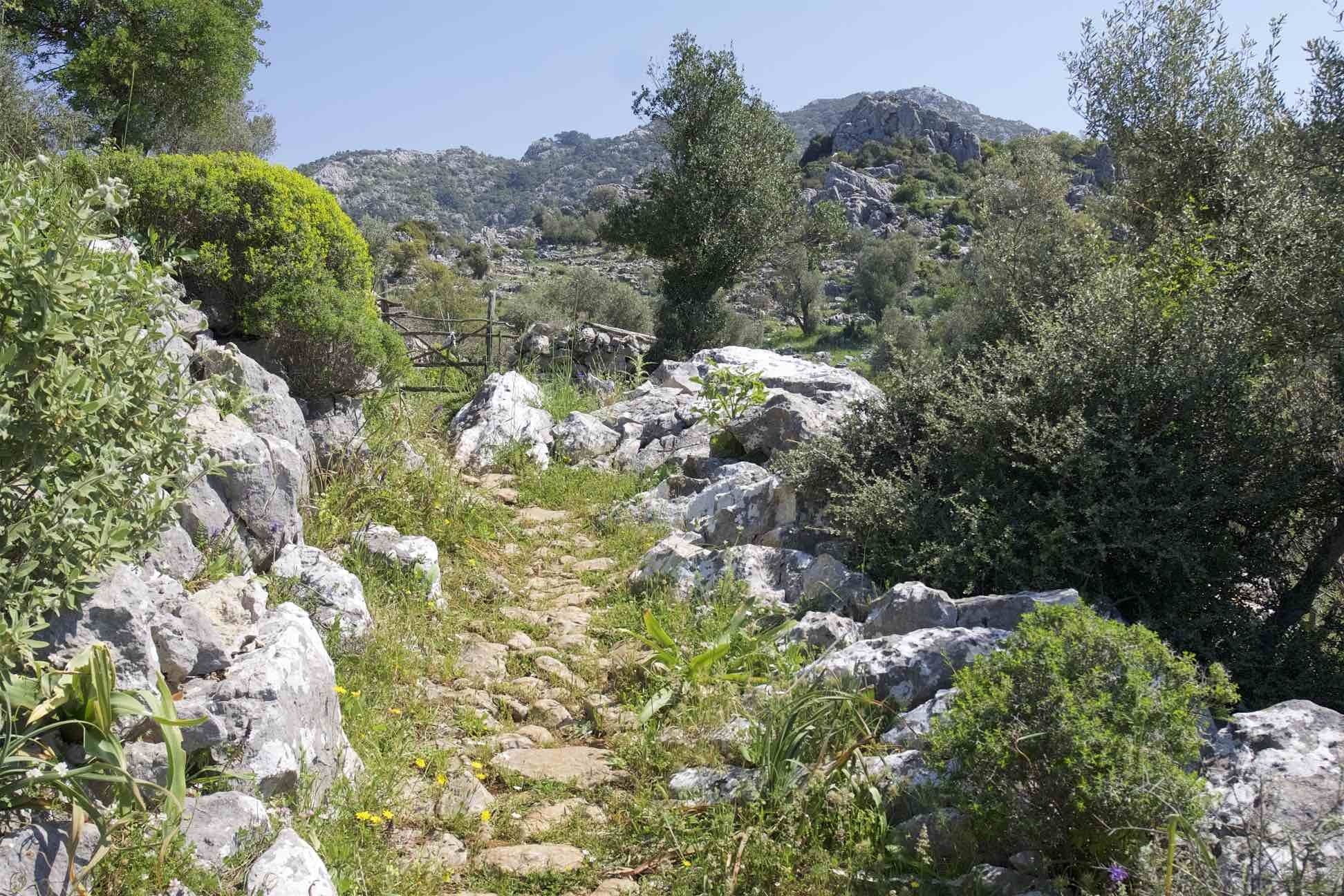
For the walker the remoteness is ripe for exploration and with a lack of roads the old trails and paths have been cleaned to access every viewpoint across the sea to the Greek islands of Symi and Rhodes. The Trail routes through a diversity of terrain with many changes of scenery and magical views round every corner. There are many traditional villages eking a living from the rugged landscape along with coastal villages catering for the demands of tourism.
-
Routes
- İçmeler – Turunç – Kumlubük 11.1 km +/- 976 m
- Kumlubük – Kızılcaöğütmen – Bayır 14.1 km + 1166 / – 894 m
- Bayır – Bahçeli – Taşlıca 18 km + 829 / – 821 m
- Taşlıca – Karayüksek – Loryma 17.5 km +896 / -1100 m
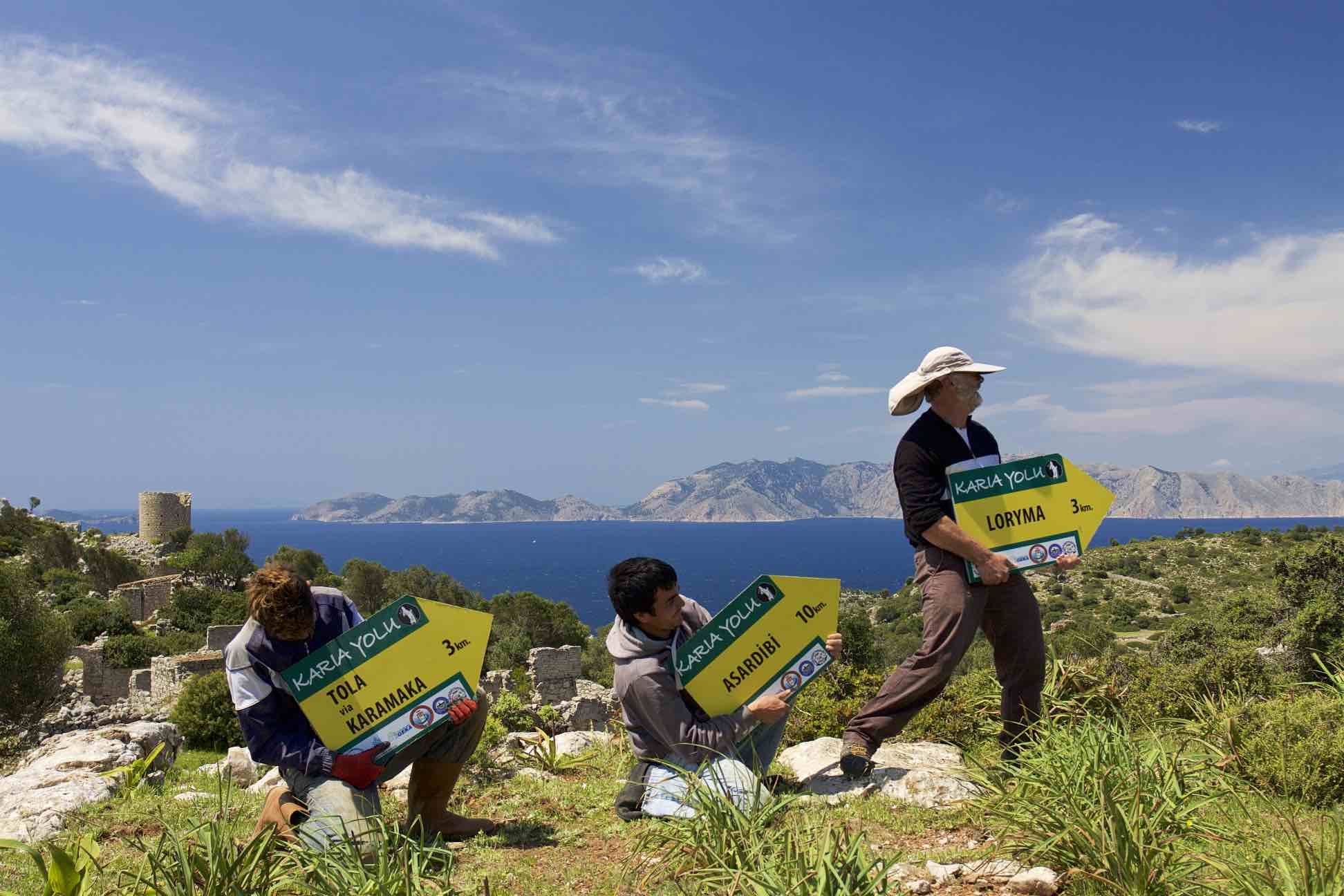
- Loryma – Karamaka – Asardibi 18.5 km +780/-765 m
- Asardibi – Cumhuriyet – Bozburun 20.4 +758 / -781 m
- Bozburun – Selimiye 10.2 +/- 336 m
- Selimiye – Bayır – Şelale 17.9 km +1110 / – 1107 m
- Şelale – Turgut – Hisarönü 21.6 km +937 / -1039 m
-
Coordinates
Hiking Routes
GPX . KML Individual files
Trail Running Routes
GPX . KMLBiking / Travel Route
Travel route passing through the major points of the Carian Trail. With a total distance of 191 km, the travel route follows scenic asphalt roads and can be travelled by bikes, motorbikes and campers.
GPX . KML -
Places to Stay
İçmeler
Many options available.
Turunç
Dream HotelKumlubük
Villa Floria (closed during off season)Kumlubük Maris OtelBayır Köyü
BayKiana (Rooms and tent)
0532 212 47 80Taşlıca Köyü
Village House Accommodation and places for tent.Erol 0 (507) 924 13 37Bozukkale/Loryma Bay
Sailor’s House Restaurant (showers, electric, WC, place for tents)0536 448 63 39Söğüt
Saranda PansiyonSuna House (open all year round)+90 535 682 6014BozburunSuna Pansiyon Apart (open all year round)0536 423 49 43Ünlü Apart0252 456 21 34 (Fadıl Ünlü)Selimiye
Hydas Pansiyon
https://g.page/hydasselimiye?share0252 446 42 89Birgül Teyze’nin Evi+90 (252) 446 40 50
Palmira CampingTurgut Köyü
Zakkum Restaurant Pansiyon0532 897 78 86Orhaniye
Hisarönü
Altınkum Camping
http://altinkumcamping.com/
0 533 306 30 39
İliman Camping
https://ilimanrestaurantcamping.com/
+90 252 466 62 22
Angora Camping
0533 416 66 88
